


Lava Land
If you think Hawaii is all beach bums and Mai Tais, look no further than Hawaii Volcanoes National Park. The active and unpredictable 333,086-acre park is a fascinating—and humbling—up-close look at the earth’s underbelly. Hiking over the steaming caldera (cauldron-like depressions) and catching sight of flowing lava offers a perspective that’s as beautiful as it is unsettling.
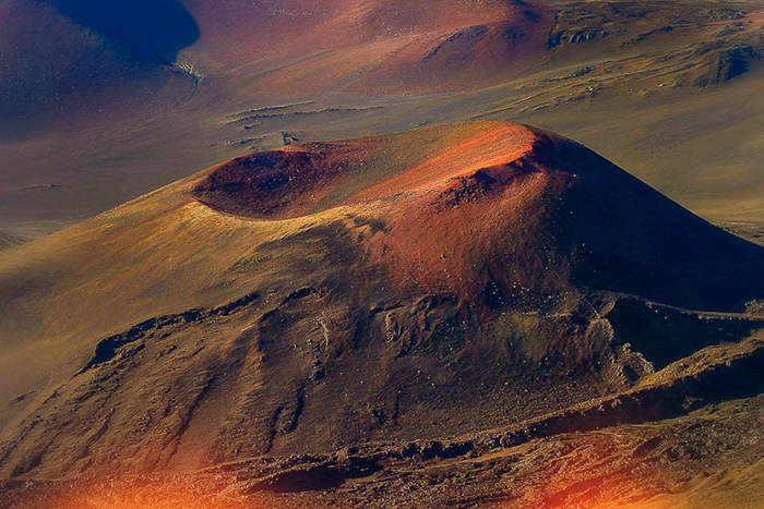
The park stretches from the world’s largest (by volume) volcano, Mauna Loa (13,677 feet), to another volcano, Kilauea (4,190 feet), south and east to the Pacific Ocean, and is surrounded by diverse terrain that includes both rainforest and desert. Unlike visiting Yellowstone National Park, with its largely predictable geyser, Hawaii Volcanoes National Park is an ever-changing, wild landscape.
Get In On the Action
These days, visitors are flocking to Halema”uma”u, a crater in the summit of Kilauea and the home of the Hawaiian goddess Pele, according to local mythology. The crater has been erupting since March 2008, when the long-quiet cavity spit up rocks “the size of grapefruits’ that damaged a nearby viewing area and road, according to Park Ranger Rob Ely. That event has given the park experience a new injection of excitement, as the last time the crater erupted was 1982. During the day you can watch the sulfur dioxide and water plumes rise from the 270-foot-deep crater. At dusk, as Park Ranger Mardie Lane explains, you can see “an intense orange glow” from the molten lava 300 feet below the crater floor. There’s no predicting exactly what you”ll see on any given day. Whatever will happen, says Ely, is “Pele’s secret.”

Beyond Halema”uma”u
And there’s plenty beyond staring down the depths of the craters themselves. The Kilauea Iki Trail offers a four-mile hike that starts in a rainforest full of massive, prehistoric-looking ferns, and descends 400 feet into the Kilauea Iki Crater, once a lava lake. The crater floor looks like an asphalt parking lot that went through an earthquake and was then dotted with colorful plant life. As you walk along the cairn-marked path, you can feel the steam rising from the cracks and see hardened lava that is still literally red hot. Just 50 years ago, a lava fountain spewed 1,900 feet into the air from that very spot.
Another can”t-miss site is the Thurston Lava Tube. Hundreds of years ago, magma flowed through this area, carving out a tunnel big enough to walk through. Inside, it’s impossibly dark and the footing is uneven, so a flashlight (or headlamp) is required. But only when you turn off your light will you experience the full numbing effect of the tunnel’s thick and total darkness.
Other Suggestions
“Drive the Chain of Craters Scenic Road. Descend 3,700 feet—you”ll have to stop where lava buried the road in 2003. Along the way are the Lua Manu and Pauahi Craters, Mauna Ulu lava shield, Kealakomo Overlook, Pu”u Loa Petroglyphs and Holei Sea Arch.
“Drive to the end of Highway 130 to view the latest lava activity from the east rift of Kilauea, which sometimes can be seen flowing to the sea. Viewing area open 2-8 p.m. daily.
“If you are fit and experienced with high-altitude climbing, hike the three- or four-day, 40-mile (round-trip) ascent to the summit of Mauna Loa.